Parks and recreation departments, land trusts, and private organizations can utilize GIS for asset management, maintenance and scheduling purposes. The sharing of data improves efficiency by streamlining project management, planning, and communication. CGIS Solutions has a suite of applications that facilitates the management of your parks, as well as provides web and mobile solutions to distribute information to park users.
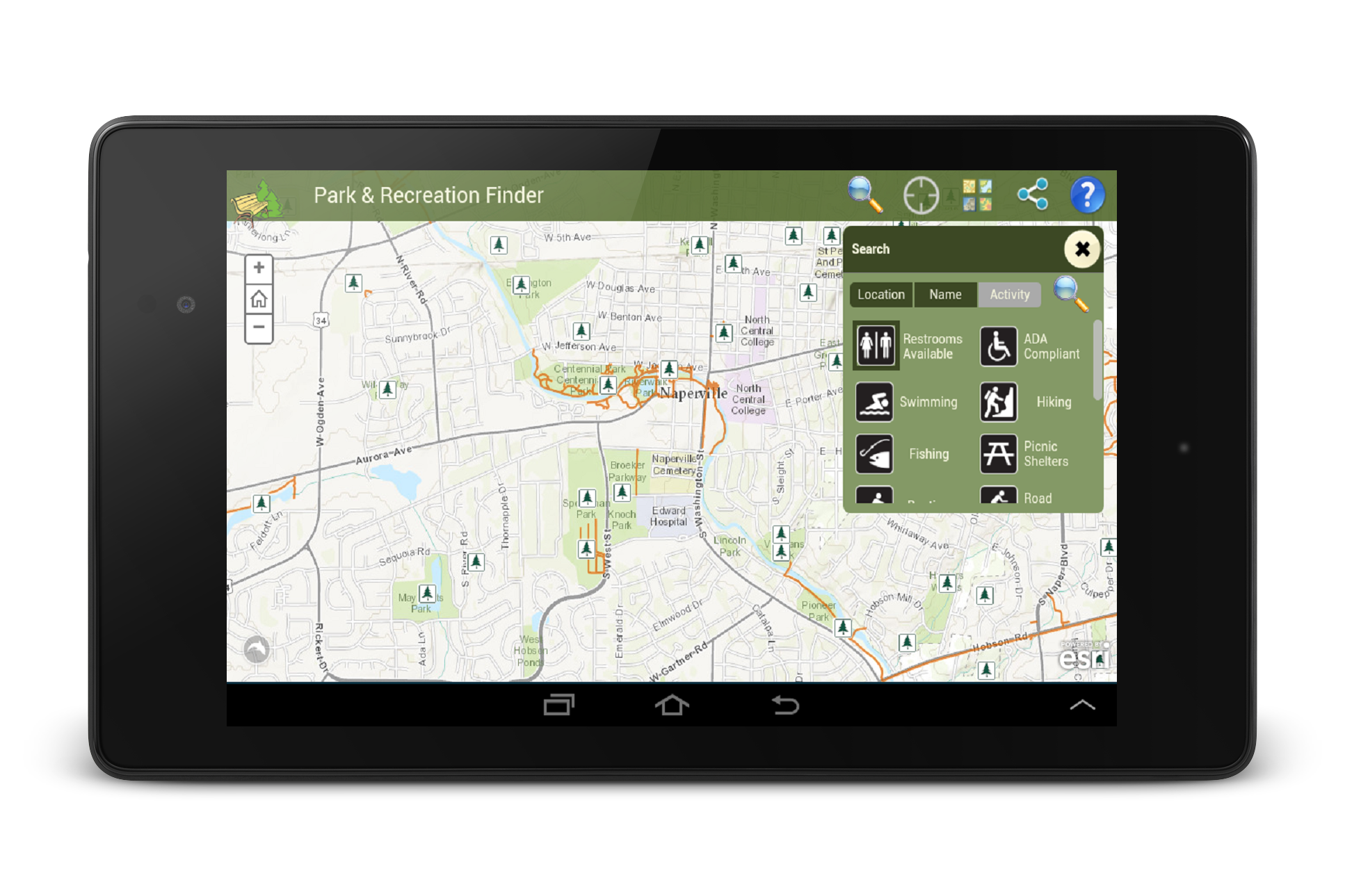
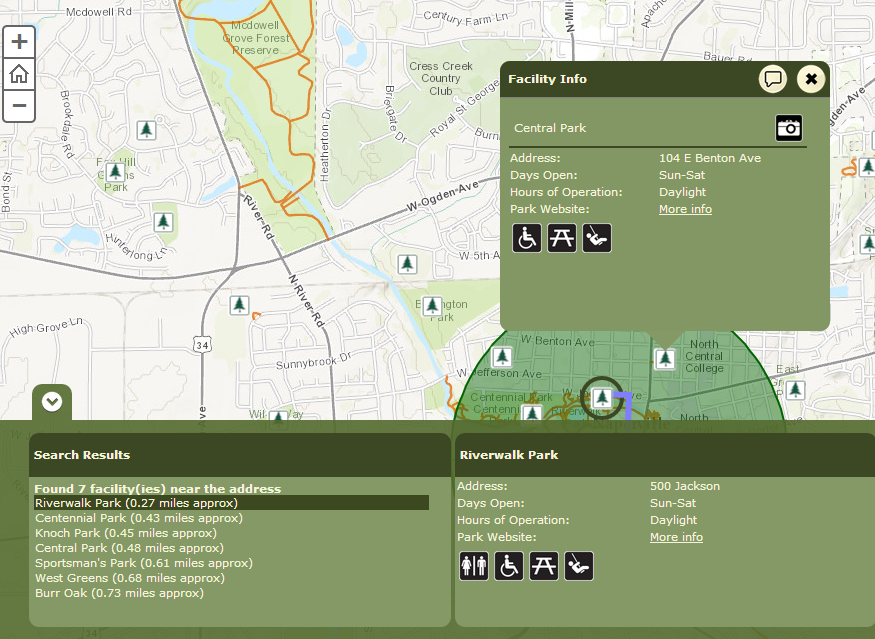
The Park and Recreation Finder application provides residents and visitors an easy interface to search for recreation facilities by name, proximity, or specific recreation opportunties. By typing in an address, using the current location tool, or selecting the desired activities, users can easily find their desired park or recreation facility.
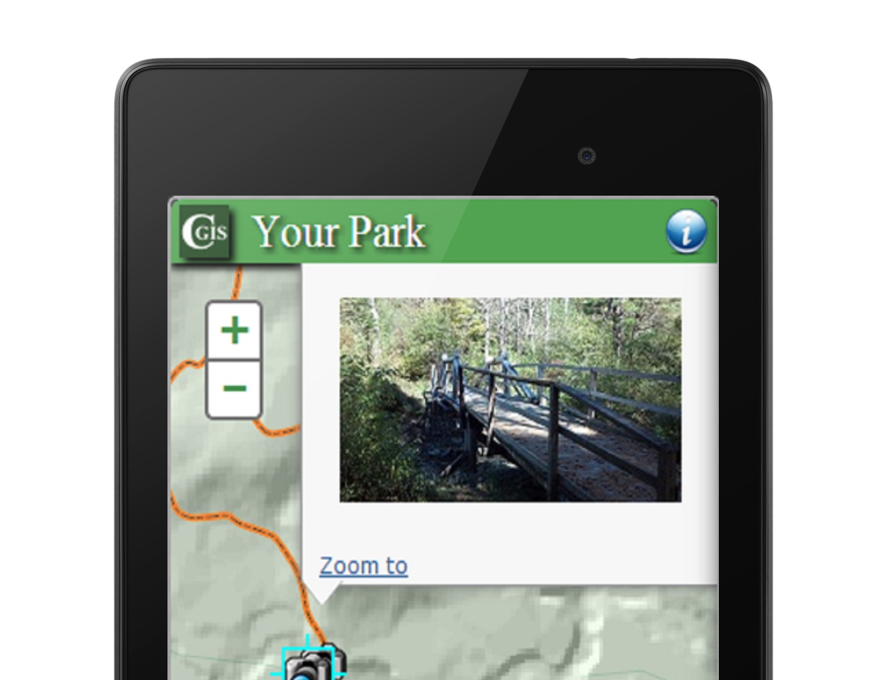
CGIS Solutions offers a variety of mobile solutions for users upon arrival at the park or trail. The mobile application is accessed by anyone with a smartphone or mobile device, and provides the current location of the user by utilizing the device's internal GPS. Pictures, landmarks, and points of interest, are among some of the various options of information that can be provided to park and trail users.
Let CGIS Solutions help you engage users and streamline your park management operations.