
Flagship platform
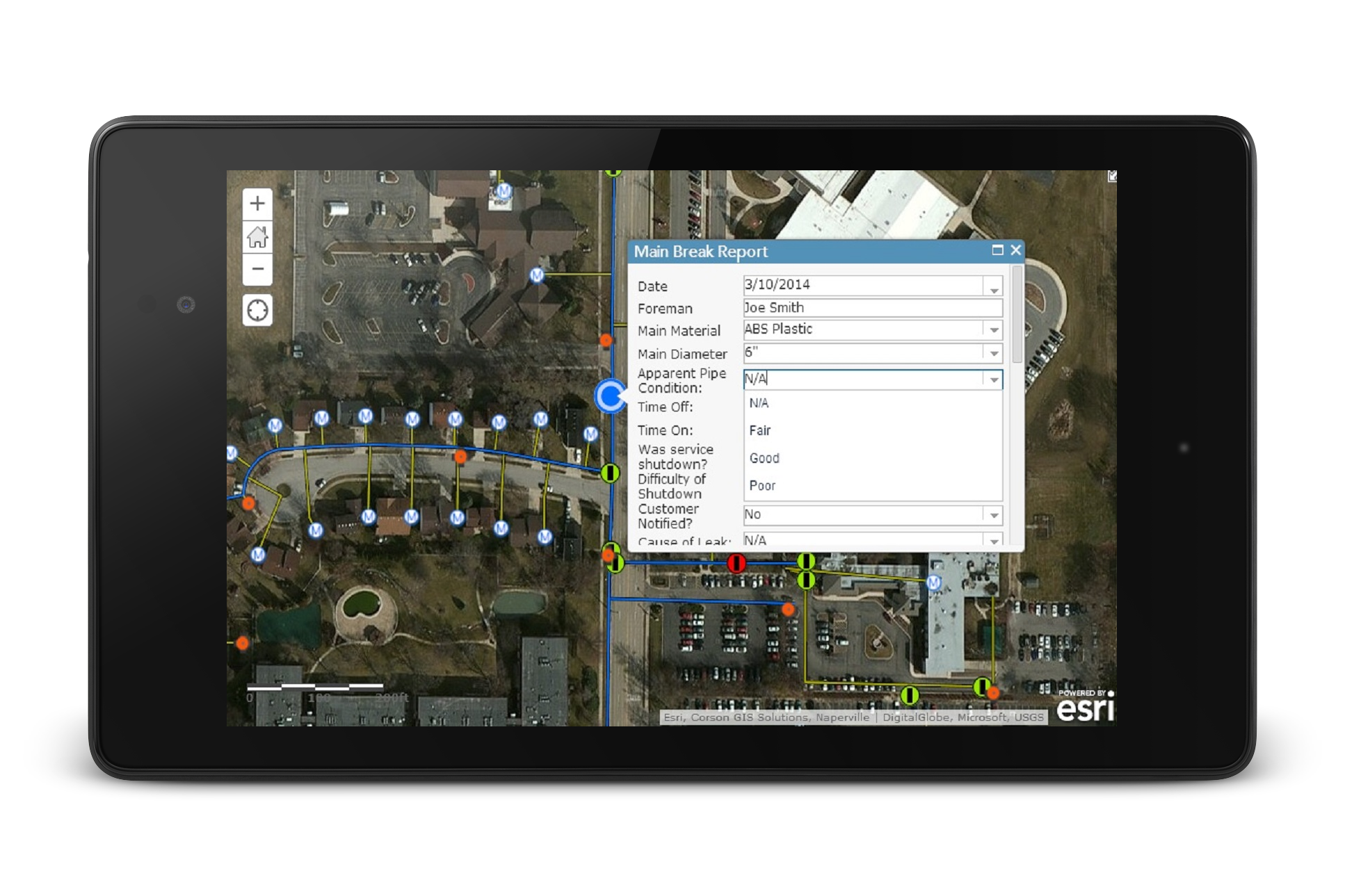
CGIS-WorX unifies work orders, assets, and mapping in one workflow.
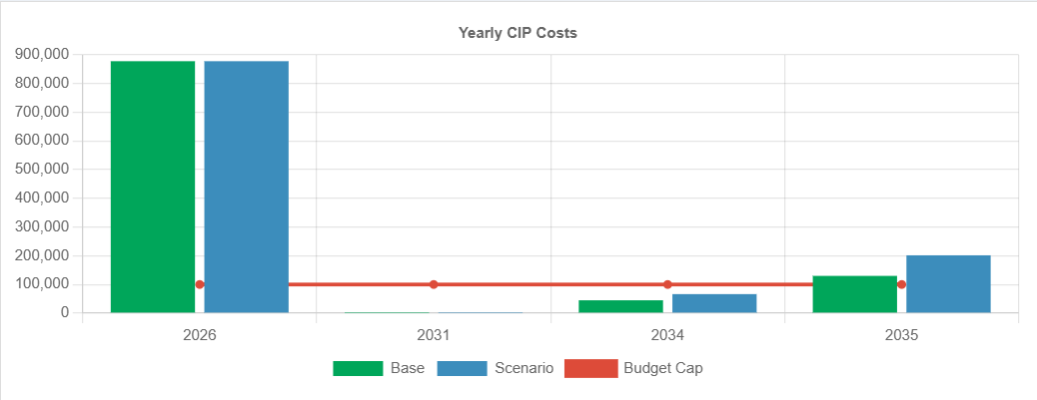
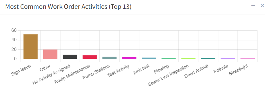
Connect field crews and office operations with GIS-integrated work order management, asset intelligence, time tracking, and preventive maintenance planning.

Flagship platform
Connect field crews and office operations with GIS-integrated work order management, asset intelligence, time tracking, and preventive maintenance planning.
GIS + business systems
We build practical software and GIS integrations for utilities, public works, and teams that need location-aware operational data.
Field-to-office workflows
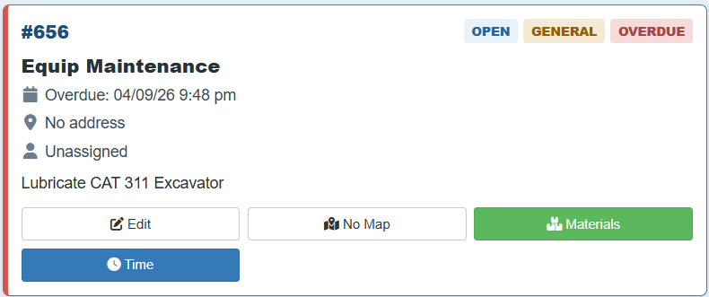
From work orders and timesheets to materials, documents, and asset history, CGIS-WorX keeps operational activity tied to the map.
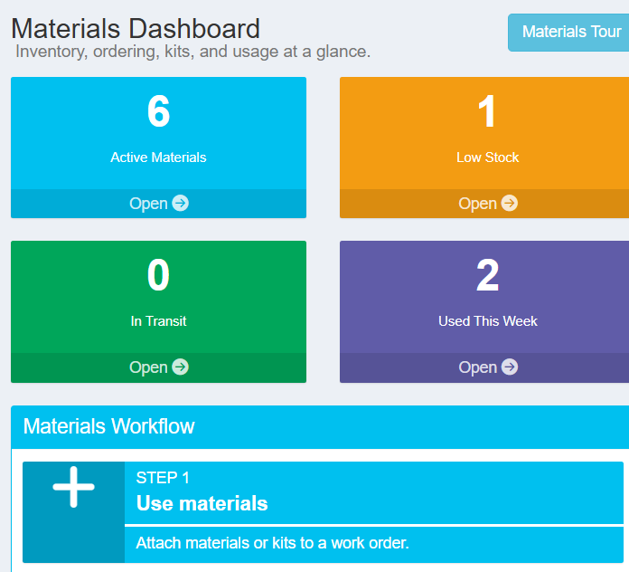
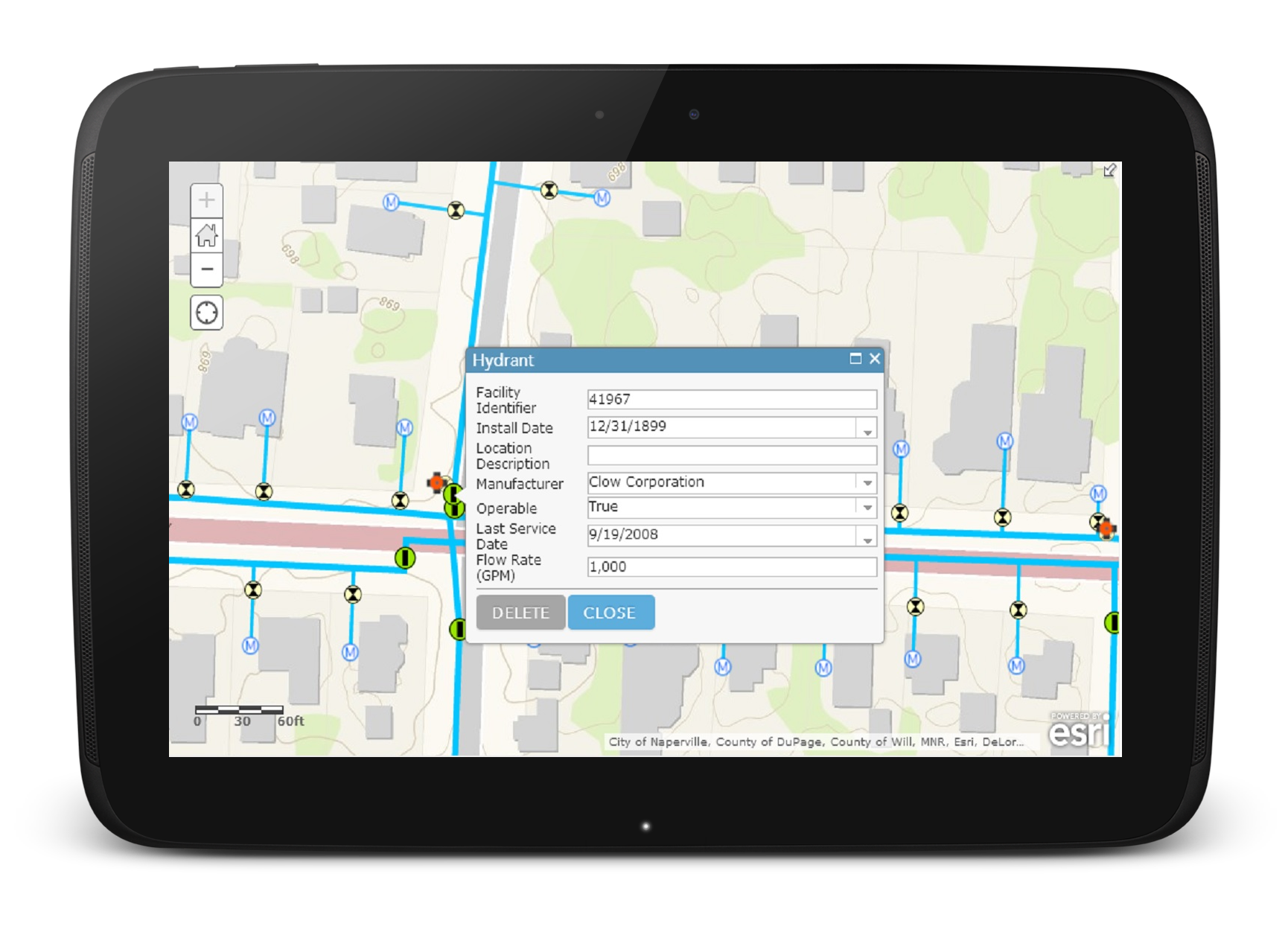
Track assets, assign jobs, and close work with auditable history tied to maps and infrastructure records.
Give supervisors and field staff one source of truth for status, materials, and location-based decisions.
We design and manage systems that scale while staying practical for day-to-day operational teams.
Web mapping apps, ArcGIS Online implementation, and enterprise architecture consulting for teams that need dependable mapping infrastructure.
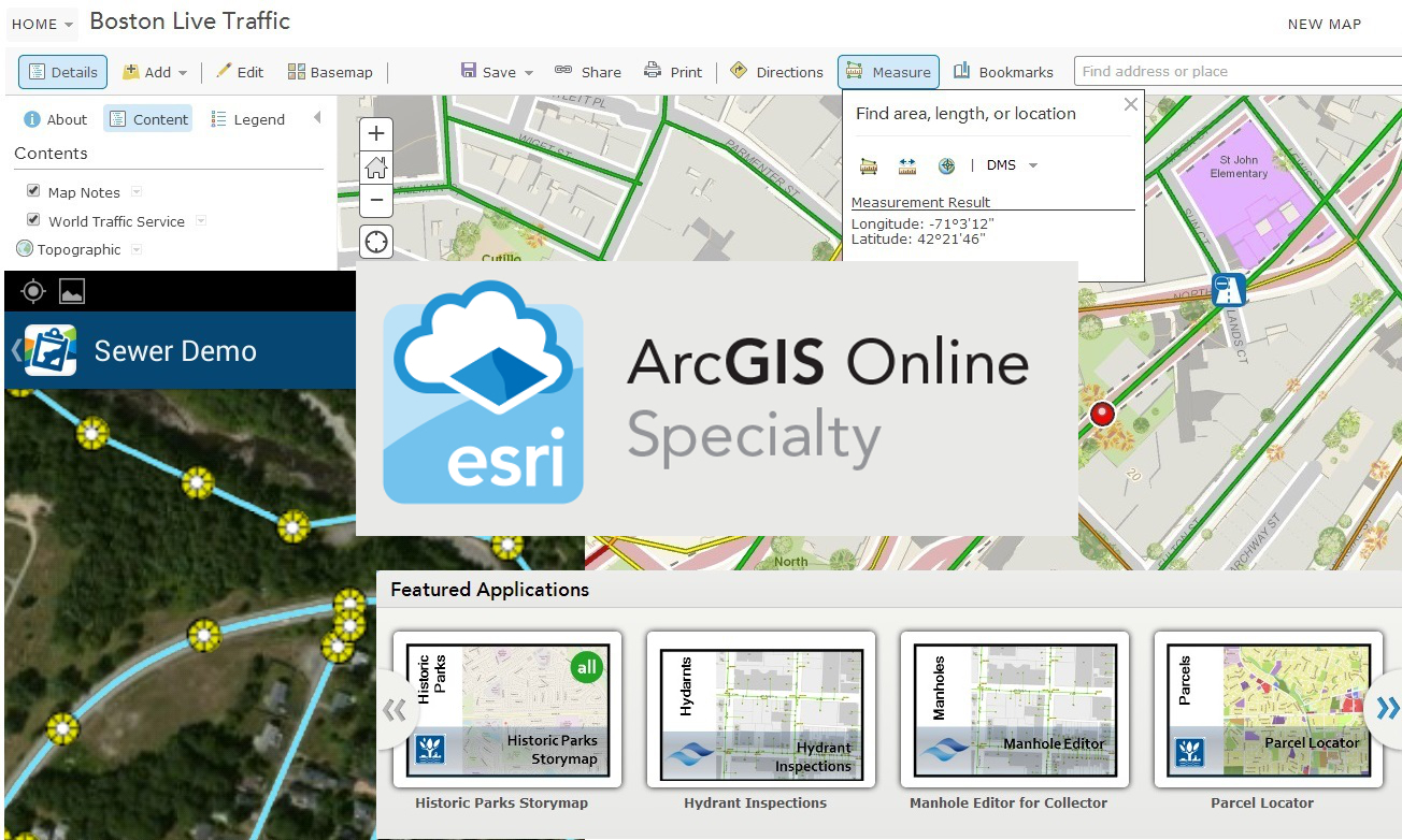
Custom web applications and API integrations that connect business systems with GIS workflows, reporting, and field data collection.
Primary focus: municipalities and utilities. Also supporting private organizations and environmental nonprofits that depend on GIS-integrated business operations.