The understanding of trends, analyzing of incidents, allocation of resources, and communication between public safety agencies, are vital in protecting human life and property. CGIS Solutions offers pre-incident planning, Common Operational Picture, hazard location, and public safety asset inspection applications to help keep your citizens safe and informed.
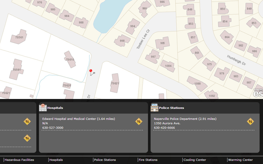
The Hazard Information application helps citizens find hazards that exist in their community, and obtain information about emergency evacuation routes, as well as where help and services facilities exist.


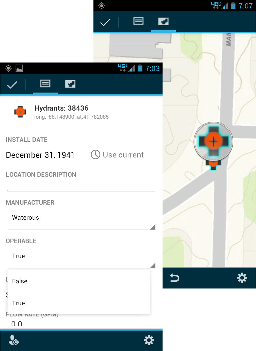
Applications for conducting structural damage assessments, or fire hydrant flow and condition inspections, are some of the many mobile solutions we offer to public safety officials.